Map SDK for Web and Mobile Applications
Build interactive map experiences for customers, field employees and operations teams. Give users a clear view of customers, cases, field teams and service territories on one map. Developers can render interactive maps, add markers and overlays, draw service areas, visualise routes and work with GeoJSON-based location data.
What it enables
Show customers, branches, assets and field teams as markers with popups, giving operations teams a unified view on a single interactive map.
- Web & Mobile support via Map, Marker, Popup and NavigationControl
- Filter and group locations by team, region or status
- Zoom seamlessly from a national view down to single street level
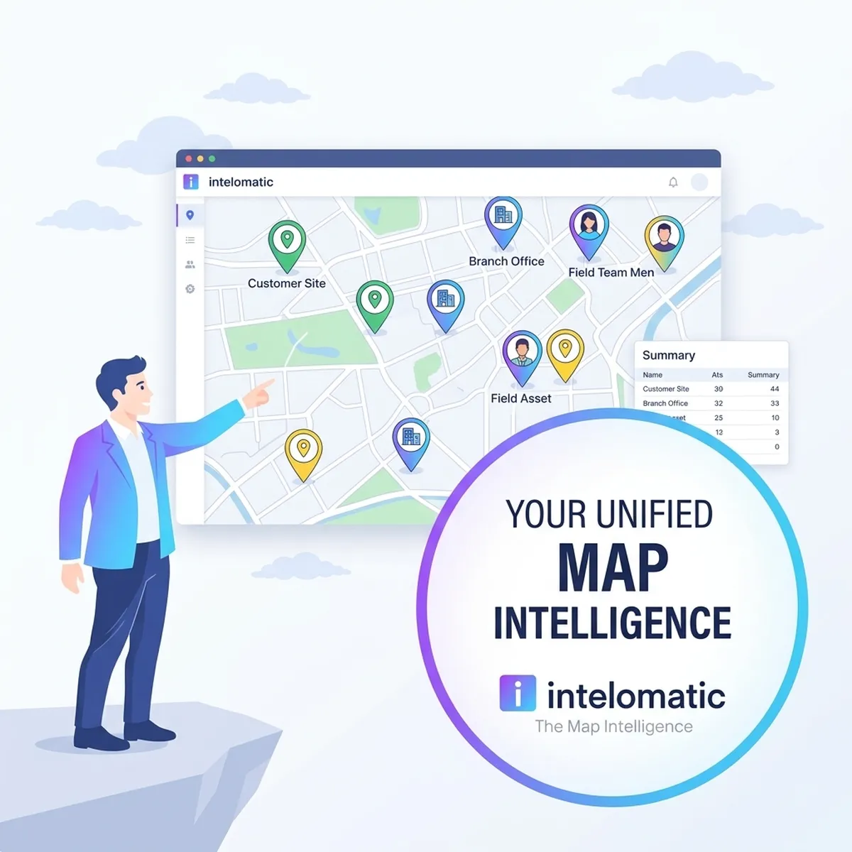
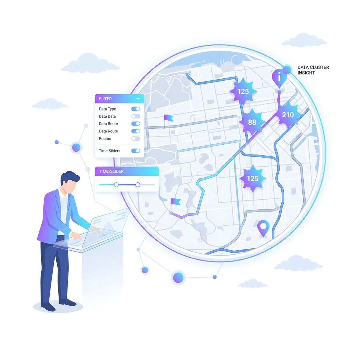
Cluster 10,000+ points with custom badges, including weighted clustering. Switch between nine predefined basemap styles at runtime.
- Nine predefined vector basemap styles switchable at runtime
- Cluster 10,000+ points with custom badges and weighted clustering
- Routes, lines and custom data layers rendered smoothly
Available for Web (JavaScript/TypeScript), Android (Kotlin), iOS (Swift), React Native and Flutter with native performance across platforms.
- Integrate directly into existing CRM, LOS, LMS or mobile app screens
- Available for Web (JS/TS), Android, iOS, React Native and Flutter
- Keep existing backends while Map SDK powers the location experience

Draw polygons, circles and text on the map, and import or export GeoJSON location data for field analysis and territory planning.
- Interactive Drawing Controller for polygons, circles and text overlays
- Import and export GeoJSON location data seamlessly
- Single operational decision view for managers, operations and product teams
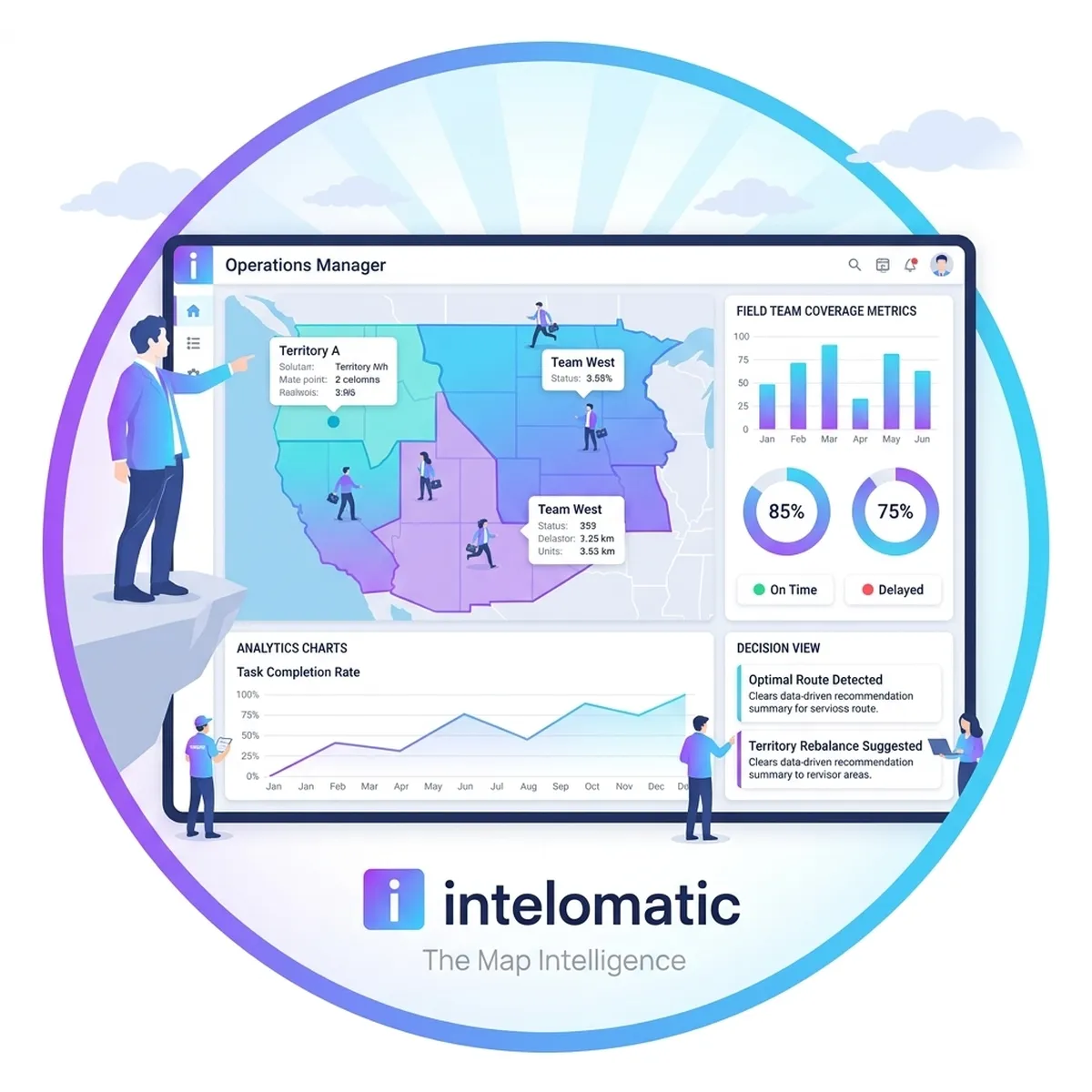
Built for teams and developers
Give users a clear view of customers, cases, field teams and service territories on one map.
Use the Map SDK to render interactive maps, add markers and overlays, draw service areas, visualise routes and work with GeoJSON-based location data.
How it works
Embed location capabilities directly into your applications through a simple 3-stage integration flow.
Features by platform
Build once with consistent concepts across web and mobile platforms. Compatible with open-source map ecosystem tools.
Combine Map SDK with location APIs
Use Map SDK with Intelomatic geocoding, routing, geofencing and tracking APIs to show addresses, routes, boundaries and live locations on the same map.
Geocode addresses into precise map coordinates and show PIN code/district boundaries.
Calculate travel distance and render optimized multi-stop itineraries directly on vector maps.
Draw branch service areas, custom zones and administrative boundaries on the map.
Capture live field movement in real-time and display live agent tracks on your map.
See Map SDK in action
Book a live walkthrough tailored to your use case, or explore the live code examples.